Gooseberry Mesa
Frog’s Hollow 25 Hour Race Course
Rainbow Rim Trail
Hike in the Grand Canyon
Thunder Mountain
Scenic Drive Through Utah – Zion – Bryce – Scenic Hwy 12
Virgin River Rim Trail
Rides in Grand Junction and Fruita
Flowing Park – Colorado
One of the reasons to go ride down in Southern Utah is so you can drive. At least for me. I like driving and these roads are fun to drive and offer some stellar scenery.
Also checking out the National Parks is great since we just don’t see this kind of unique geology here.
The Colorado Plateau is an uplift that goes from the Uinta Mountains to the North, Wasatch to the West, Rockies to the East and Mogollan Rim to the South. Since its formation is has been eroding. The greatest display of this erosion is seen in North Arizona and Southern Utah where National Parks have been created to showcase this geological history. From the 2 billion year old rocks in the bottom of the Grand Canyon to the youngest rocks of the Claron formation seen in Red Canyon, Bryce and the Brian Head area. Younger Laccolithic Volcanic mountains of the La Sals, Henry’s and Boulder mountains are also in the plateau. The geological strata gives you a glimps of the diversity.
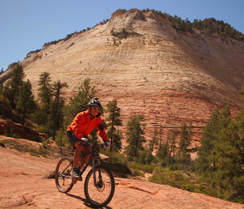
An ancient Sand Dune – Checkerboard Mesa at the top of Zion as you enter the park. Lee felt compelled to ride it.

here I go!
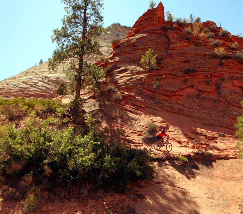
For some reason he wanted climb up this ancient sand dune and ride down it. I guess most of us would!


But most would avoid the nasty trees!

ouch!
After getting patched up Lee continued riding down the nice Zion – Mt Carmel Hwy.

More Checkerboard Mesa.

We parked at the visitors center and opted to ride the scenic road along Zion Canyon instead of taking the bus.

nice red road!
Towering Navajo Sandstone


Very lush beside the Virgin River.

Zion National Park from Lee Lau on Vimeo.
�
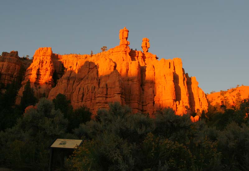
We left Zion and drove Hwy 89 to Red Canyon which is at the start of Hwy 12 on the way to Bryce Canyon. We camped in Red Canyon and was just in time to get some sunset shots.


I was glad to have the down jacket cause it got CHILLI!


We then drove to Bryce Canyon to get some moonlight shots.

The next day after our ride in Thunder Mt. we went back to Bryce to check it out during the day.


Starting in the Red Canyon is the “American Hwy 12” built during the depression as a make work project. It offers access to some incredible scenery. From Escalante we drove the Devils Backbone – a really cool look at sandstone on drugs.

hard to capture in the picture
The crux of the devils backbone. The bridge is as wide as the rock bridge it sits on and it falls down FAR on either side.

Looking off the bridge. It would be hard to connect a trail in here but it would be fun!

Once back on Hwy 12 we enter the town of Boulder.
Here another road – The Burr Trail – starts that takes you into Capitol Reef National Park. It started out as a trail built by a cattle rancher to move his cows and its now a road.


Wing Gate, Entrada and Navajo sandstone walls.


Top of the switchbacks of the Burr Trail.

Quite the road!


At the bottom looking back from where we came!


The Burr Trail way in the back surrounded by the waterpocket fold and other sandstone layers.

Bullfrog Road – you can drive North to leave Capitol Reef, or head south to the Colorado River and Lake Powell.

You can see the road zig zag down the rock wall.


Morrison formation – mounds along the road.

Highway 12 – Escalante, Utah from Lee Lau on Vimeo.
�
From here we drove to Grand Junction to do some more riding!
On the way home we saw a bunch of windmills. On Hwy 6 just before you get back onto the I-15

Off I-84


